
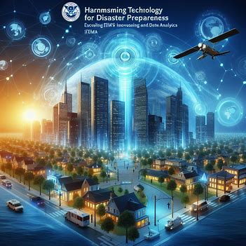
FEMA Innovations: Harnessing Technology for Disaster Preparedness
Published on: December 25, 2024
Introduction
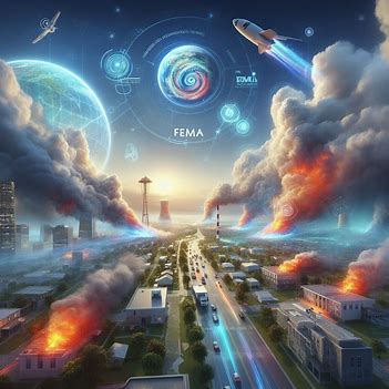
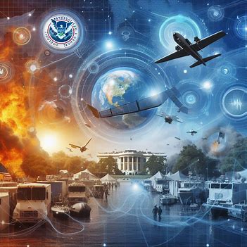
Natural disasters and emergencies pose significant challenges to communities and responders alike. The Federal Emergency Management Agency (FEMA) has increasingly turned to technology to enhance disaster preparedness, response, and recovery efforts. This article explores FEMA's use of remote sensing and data analytics to improve disaster management and community resilience.
Remote Sensing for Situational Awareness
Remote sensing technologies, including satellite imagery, aerial drones, and ground-based sensors, play a crucial role in disaster preparedness and response. FEMA uses these tools to gather real-time data, assess damage, and identify critical needs. For example:
- Satellite imagery provides high-resolution views of affected areas.
- Aerial drones survey disaster zones and assess structural damage.
- Ground-based sensors monitor environmental conditions such as air quality and water levels.
Data Analytics for Predictive Modeling
Data analytics is vital for predictive modeling and scenario planning. FEMA employs advanced analytics techniques like machine learning to analyze vast amounts of data and forecast disaster events more accurately. By studying historical data on weather patterns, geological features, and population density, FEMA can:
- Identify areas at high risk of disasters.
- Allocate resources effectively.
- Simulate disaster scenarios to enhance response strategies.
Integration and Visualization of Data
FEMA integrates data from multiple sources using Geographic Information Systems (GIS). These systems compile data from remote sensing platforms, weather stations, and social media feeds into a unified geospatial database. This data is then visualized through:
- Interactive maps
- Dashboards
- Decision support systems
Enhancing Community Resilience
By harnessing technology, FEMA aims to reduce disaster impacts and improve resilience. This includes engaging with communities, educating the public, and empowering individuals to take proactive measures for disaster preparedness.
Challenges and Future Directions
While technology offers significant benefits, challenges such as data privacy concerns, interoperability issues, and the digital divide persist. FEMA is exploring emerging tools like:
- Artificial Intelligence (AI)
- Internet of Things (IoT) sensors
- Blockchain technology
These innovations promise to further enhance disaster preparedness and response capabilities.
Conclusion
FEMA's use of remote sensing and data analytics represents a transformative approach to disaster preparedness. By leveraging advanced technology, FEMA can better anticipate, assess, and respond to disasters, ultimately saving lives and minimizing impacts on communities.